


 Wherefore Art Thou, Romeo

LESSON 2 Introduce Coordinates
Great Barrier Reef


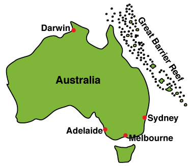
The Great Barrier Reef stretches along the eastern coast of Australia for 1240 miles. A reef is a ridge of rocks, sand, or coral in an ocean. Sometimes the reef is covered by water and sometimes the top of the reef is above the surface and forms islands. The Great Barrier Reef covers an area about half the size of Texas and is considered the world's largest living structure. For many thousands of years, 400 kinds of reef-building corals have added to the size of the reef. It is home to fish, worms, sea urchins, sea cucumbers, clams, snails, and many other animals.
The Great Barrier Reef is not a solid wall. It is comprised of more than 2600 separate reefs and over 300 islands. Scientists from around the world come to Australia to study the Great Barrier Reef and the animals that make the reef their home. The people of Australia are very proud of their reef and take great care to protect it.
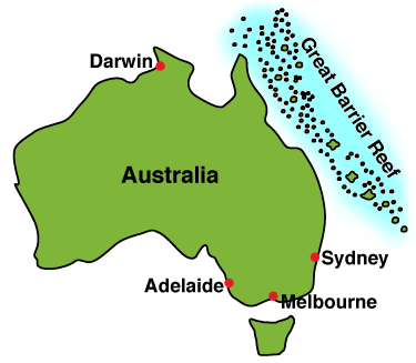
Exploring the Great Barrier Reef Using Cartesian Coordinates
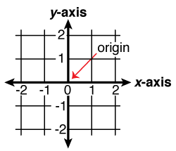
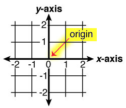
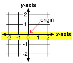
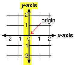
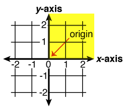
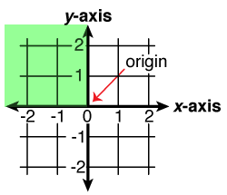
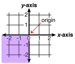
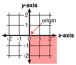
The map on the next page shows one section of the reef. It is covered by a grid system known as Cartesian coordinates. This method of mapping was invented by the French philosopher and mathematician René Descartes in the 17th century. It is a very effective method of mapping. To identify the location of an object on a flat surface, we need a reference point, called the origin, and two straight lines that pass through the origin at right angles to each other. The lines are called the axes. The axes divide the surface into 4 parts called quadrants.