


Using Maps
Est. Class Sessions: 2Developing the Lesson
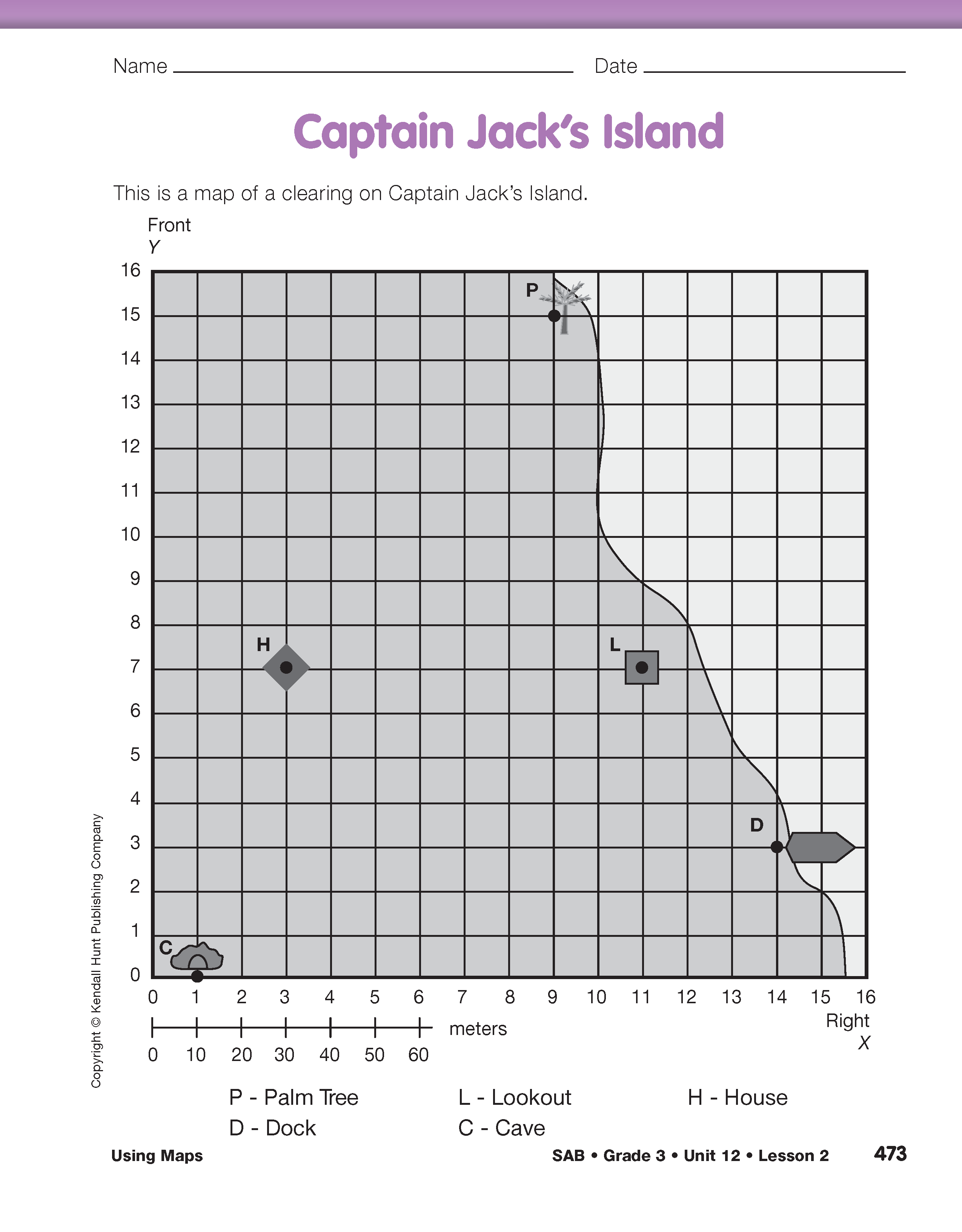
Part 2. Captain Jack's Island
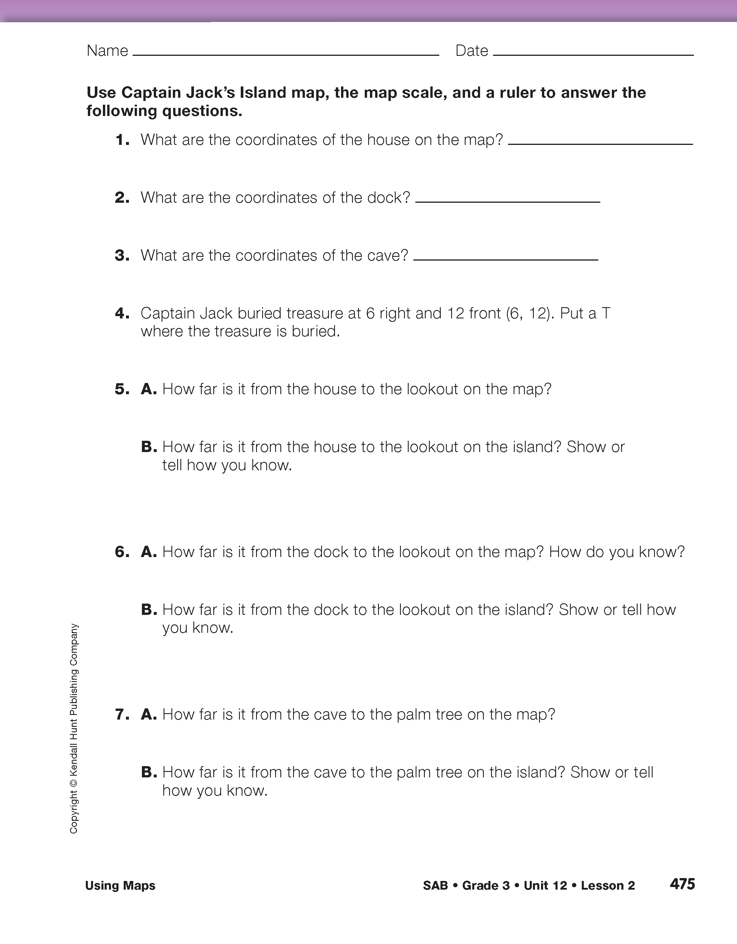
Captain Jack's Island pages in the Student Activity Book provide more practice using scale maps and coordinates. Students can work in pairs to complete the questions. Students use coordinates to describe locations on the map for Questions 1–4. They can either give the location in words (e.g., 3 right, 7 front for the house) or as an ordered pair (3, 7).
For Questions 5–7, students use a ruler to find distances on the map, and the scale to find distances on the island. Be sure they understand that they should measure distances between the labeled points on the graph.
Talk with students as they work to check for understanding. For example, ask:
When students have completed the pages, ask them to share their strategies for finding the distances on the island.