


Introduce Coordinates
Est. Class Sessions: 2–3Developing the Lesson
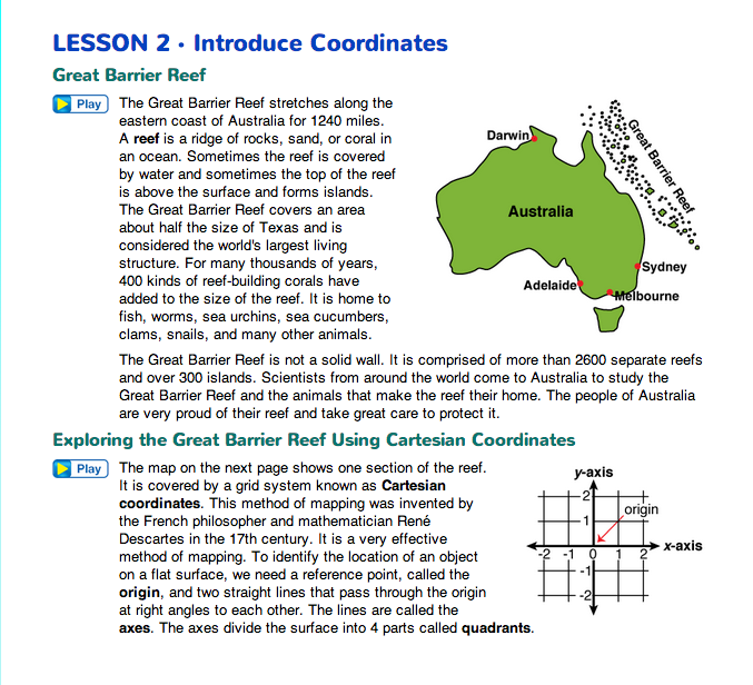
Introduce Coordinates. Introduce the lesson by reading the vignette in the Great Barrier Reef section in the Student Guide which sets up the context for work with the coordinate system. You can use a map or globe to remind students of Australia's location.

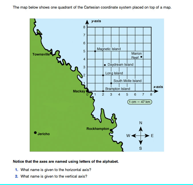
Explore the Great Barrier Reef. Direct students' attention to Exploring the Great Barrier Reef using Cartesian coordinates section in the Student Guide. This map shows one section of the Great Barrier Reef covered by a grid system known as Cartesian coordinates. Use a world map or globe to show the relative location of Australia and the Great Barrier Reef.
When looking at the coordinate axes, it is important for students to view the axes as number lines on which they can move back and forth. They should also note that the axes are identified as the x-axis and y-axis.

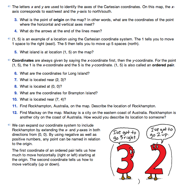
After reading about the Great Barrier Reef, Questions 1–4 in the Student Guide help students understand the process of locating places on the coordinate plane using ordered pairs. In an ordered pair, the “x” coordinate is shown first, followed by the “y” coordinate. For example: (3, 2) means a location 3 spaces to the right of the origin (0, 0), and 2 spaces above the x-axis. In earlier grades, students referred to directions as right/left and front/back of the origin. Since the example involves a map, it is also appropriate to talk about 3 units east and 2 units north.
Ask:
In Questions 5–10, students find locations based on given coordinates and locate points on the Great Barrier Reef in the first quadrant, with positive xand y-coordinates. Use a display of the Great Barrier Reef Map Master to help facilitate discussion of these questions.
Expand Grid to Four Quadrants. In Questions 11–12, students are challenged to describe the location of a town that is not within the first quadrant. Ask a few students to share their ideas before you use a display of the Quadrant Overlay Master or the Great Barrier Reef Map with Overlay Master to extend the coordinate grid.
Ask:
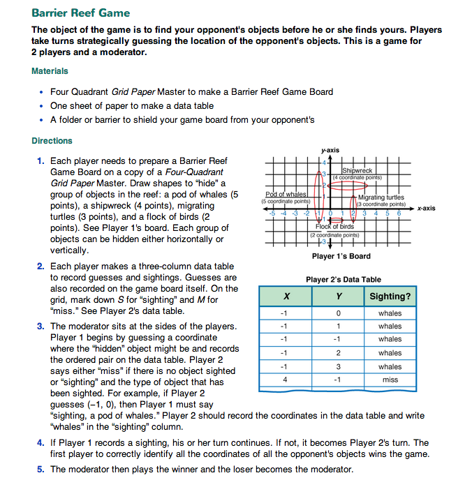
Introduce the Barrier Reef Game. Direct students' attention to the Barrier Reef Game section in the Student Guide. This game provides additional experience with the use of coordinates. Display the Four-Quadrant Grid Paper Master and tell students you are going to draw the location of objects in a Barrier Reef. Following the directions in Step 1, demonstrate how to add objects to the grid. Be sure the objects cover a few coordinate points. Give each student a Four-Quadrant Grid Paper Master and ask them to place the same objects on the grid. Students need to do this in private, as classmates will name coordinates to locate each object. Tell students to fold their Barrier Reef map in half to hide it until they are ready to play the game.
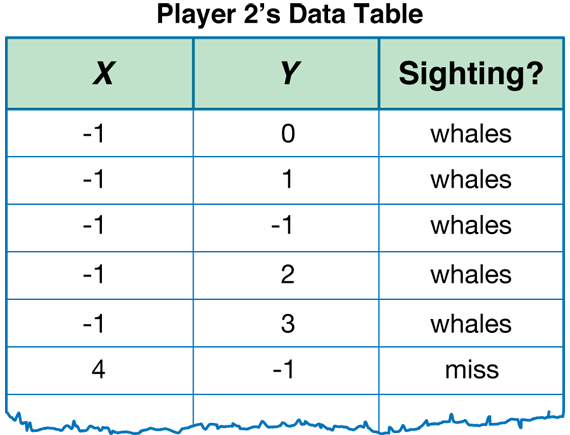
Remove your map of the Barrier Reef from the display. Ask a student to name a coordinate pair and record it in a three-column data table. See Figure 1.
Demonstrate Step 3 of the directions using the coordinates that students provided.
Ask:
Tell students that the game would continue in this way until all the objects are located.
Play Barrier Reef Game. Arrange students in groups of three to play the game: two opponents and one moderator. Ask students to reread through the directions of the game making sure all students understand what to do. Students switch roles in the group as the games are completed.
Discuss Results of Barrier Reef Game.
Ask students to share their strategies for finding “sightings” in the game.